
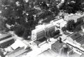
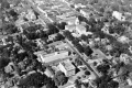
 1929 Aerial of Downtown Tallahassee
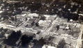
 Martin Building, Downtown Tallahassee 1929
![]()
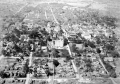
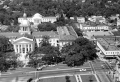
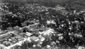 1929 Aerial of Downtown Looking Southeast, Tallahassee
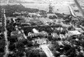
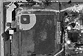
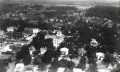 1929 Aerial of State Capitol Looking East, Tallahassee
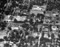
 Capitol Complex and Downtown 1947
 ![]()
 Capitol, Downtown and Smokey Hollow 1947
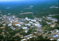
 Florida State University, 1948
 Capitol Complex and Downtown 1949
 Centennial Field 1950-64 - New 2016
![]()
 Monroe and Pensacola Intersection, between 1962-66
![]()
 Capitol Complex and Downtown Tallahassee, 1974
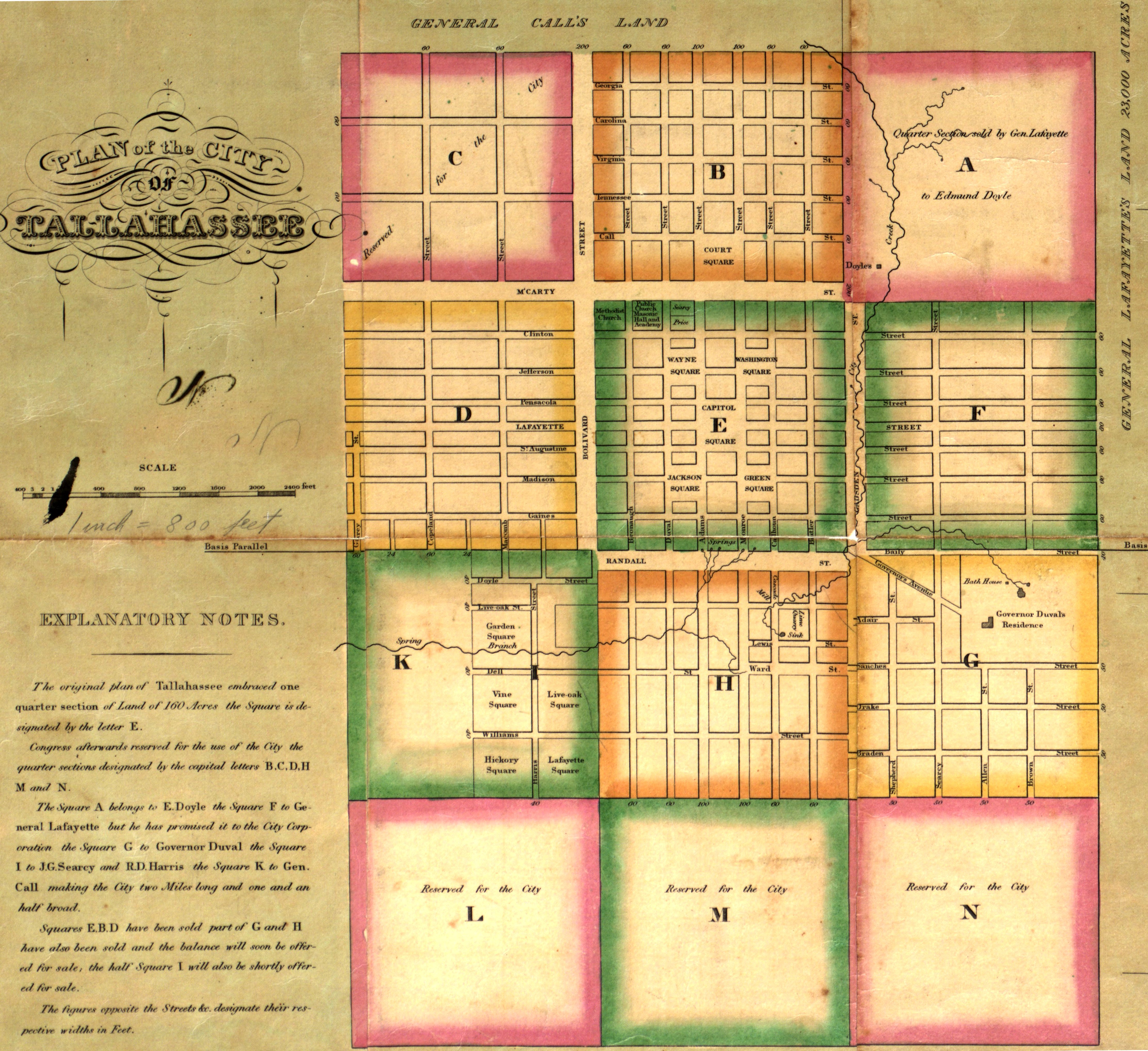 1829 Plan of Tallahassee
 1885 Drawing of Tallahassee
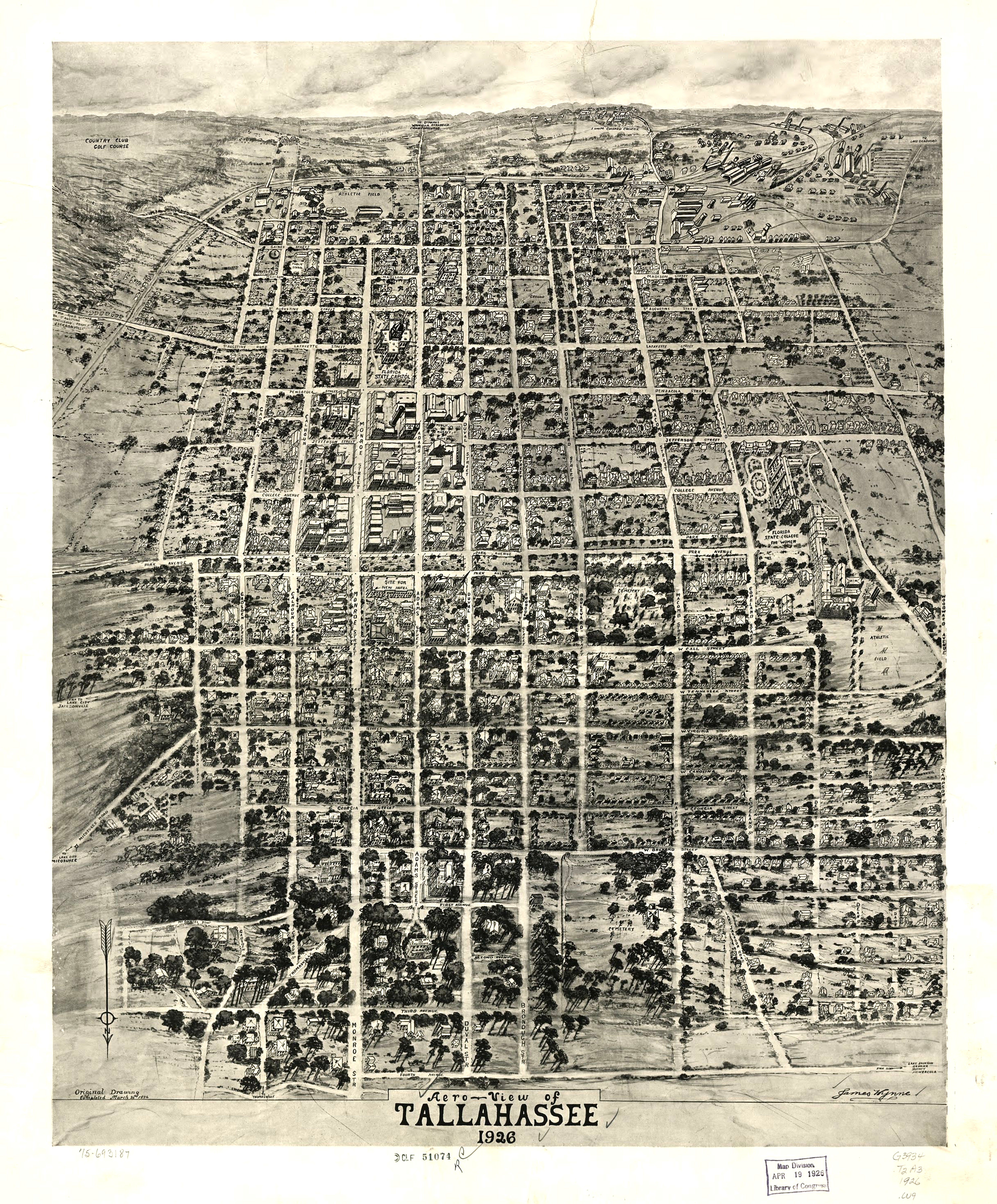 1926 Drawing of Tallahassee